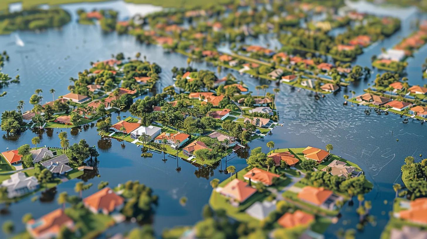
Navigating Florida’s Flood Zones
Flood zones are standardized geographic areas used by FEMA to express varying levels of flood risk, and they directly influence insurance requirements, premiums, and real estate decisions for Florida property owners. Understanding flood zones and how they are mapped — including Flood Insurance Rate Maps (FIRMs) and base flood elevation (BFE) data — helps homeowners, buyers, and lenders evaluate exposure to coastal surge and inland flooding. This article explains FEMA flood-zone categories, how zones affect insurance costs and lender requirements, practical steps for finding and interpreting flood maps, and mitigation strategies that can lower risk and premiums. Readers will find clear definitions, step-by-step guidance for using the FEMA Flood Map Service Center, comparison tables between NFIP and private flood insurance, and actionable mitigation checklists tailored to Florida and Sarasota properties. Throughout, we integrate local considerations for Sarasota and explain how Morgando Realty Services supports clients navigating flood-zone implications during transactions. By the end, you will understand how flood zones shape insurance outcomes, what steps to take before buying or selling, and which mitigation actions yield the best insurance and resilience benefits.
What Are FEMA Flood Zones and How Do They Define Flood Risk?
FEMA flood zones categorize areas by expected flood frequency and hazard type, using Flood Insurance Rate Maps to indicate whether a property lies in a high-risk or moderate-to-low-risk area. These classifications matter because they determine lender flood insurance mandates, the need for elevation certificates, and how insurers assess premiums and coverage terms. In Florida, zones are particularly consequential due to coastal surge, higher sea levels, and heavy seasonal rainfall, so accurate zone identification is an early step in property risk assessment. The section below lists common FEMA zone types and explains how these classifications inform property-level risk scoring and transaction decisions.
Which Types of Flood Zones Exist in Florida and What Do They Mean?
The major FEMA zones commonly encountered in Florida conveyapparentr differences in risk and likely insurance requirements, and recognizing them helps buyers and owners plan accordingly. Below are concise, one-line definitions of frequently seen zones in Florida, applicable for quick interpretation when reviewing a Flood Insurance Rate Map or property report.
- Flood Zone AE: High-risk area with base flood elevations (BFEs) determined; lenders commonly require flood insurance.
- Flood Zone V: Coastal high-velocity wave area with increased storm-surge risk and stricter building standards.
- Flood Zone X (Shaded): Moderate-to-low risk (500-year floodplain) with reduced likelihood but still potential for flooding.
- Flood Zone X (Unshaded): Minimal flood risk area outside the 500-year floodplain, generally not subject to lender-mandated insurance.
- Flood Zone AO/AH: Areas with shallow flooding (river or ponding) where flood depth is expressed rather than BFE.
- Flood Zone D: Area of undetermined flood hazard where detailed analysis has not yet been completed.
These zone labels clarify whether properties are subject to frequent coastal surge, shallow flooding, or lower-probability inundation, and they set expectations for insurance underwriting and mitigation needs. Recognizing the zone is the first step before reviewing elevation data, claims history, and community mitigation status, which together refine a property's practical flood risk.
How Do Flood Zone Classifications Impact Property Risk Assessment?
Flood zone classifications feed directly into property risk assessments by establishing baseline exposure, which underwriters and appraisers combine with site-specific attributes to calculate insurance and valuation impacts. Key assessment factors include a property's elevation relative to the BFE, proximity to coastlines or flood channels, foundation type, and any history of flood claims; these inputs change both insurance premium calculations and perceived marketability. For example, a home in Flood Zone AE with a finished living area above BFE will be assessed differently than a similar structure with a first-floor elevation below BFE, which will affect both lender-required coverage and buyer demand. Understanding how zones interact with elevation certificates and mitigation measures enables buyers and sellers to present accurate risk profiles and supports more informed negotiation on price and closing conditions.
Here is a quick reference comparing FEMA zone types and the immediate insurance/transaction implications to aid rapid decision-making.
This table clarifies how a zone label translates into practical next steps for insurance and for preparing a property for sale or purchase.
How Does Flood Zone Status Influence Flood Insurance Costs and Requirements?
Flood zone status is one of the primary determinants of flood insurance mandates and premium levels because lenders use zone classification to set mandatory coverage thresholds and insurers use it to estimate expected loss frequency. Properties in high-risk zones, such as AE or V, commonly trigger mortgage lender requirements to carry flood insurance. In contrast, locations in moderate- or low-risk zones may not be mandated, but they still face variable premium rates based on elevation and construction. Several factors drive premiums beyond the zone alone, including the elevation certificate, building characteristics (foundation type, finished basement), prior claims history, and NFIP Risk Rating 2.0 parameters that price risk more granularly. Below is a compact comparison of NFIP and private-market attributes that affect coverage limits, waiting periods, and typical premium drivers.
What Are the Differences Between NFIP and Private Flood Insurance in Florida?
The National Flood Insurance Program (NFIP) and private flood insurers differ in coverage caps, underwriting flexibility, and product features; these differences influence whether property owners choose public or private options. NFIP policies have statutory maximum coverage limits for building and contents and follow standardized forms. At the same time, private insurers may offer higher limits, broader endorsements, or more competitive pricing for lower-risk properties. Waiting periods, underwriting turn-times, and eligibility criteria also vary: NFIP has standardized waiting periods (typically 30 days), whereas private carriers may underwrite based on more refined data, including updated flood modeling. For many Florida homeowners, obtaining quotes from both NFIP and private carriers is essential to weigh coverage limits, premiums, and the potential for tailored endorsements that reflect local coastal or inland flood dynamics.
How Do Flood Zones Affect Flood Insurance Premiums and Coverage?
Flood zones influence premiums directly by indicating base hazard levels, but elevation relative to the base flood elevation and mitigation features often have an equally or more significant impact on premiums. Elevation certificates that document finished-floor elevation relative to BFE enable underwriters to apply discounts when property elevation reduces expected loss. At the same time, mitigation measures such as flood vents or raised utilities may also lower premiums under NFIP and some private programs. Claims history and a community's participation in the Community Rating System (CRS) further modulate costs; communities with higher CRS scores may pass discounts to policyholders. The interaction of zone, elevation, construction details, and community-level measures determines final pricing more than zone alone, so owners should gather elevation data and mitigation records when seeking quotes.
Here are standard premium drivers to watch when evaluating flood insurance options:
- Flood Zone Designation: High-risk zones generally result in higher base rates.
- Elevation Relative to BFE: Measurable reductions in premium when the finished floor is above BFE.
- Building Characteristics: Foundation type, enclosure, and utilities' elevation affect risk.
- Claims History: Properties with prior flood claims often face higher premiums.
- Community Rating: Community-wide mitigation programs can yield policy discounts.
These drivers show that proactive mitigation and accurate elevation documentation can materially reduce insurance costs even in higher-risk zones.
How Flood Zone Status Impacts Insurance for Morgando Realty Services
Finding and interpreting FEMA flood maps is a practical skill that supports due diligence, insurance quoting, and mitigation planning; the FEMA Flood Map Service Center is the primary public tool for locating a property's mapped zone and FIRM panel. Accurate interpretation requires checking effective versus preliminary maps, noting panel numbers and revision dates, and cross-referencing BFE values and coastal velocity zones that affect building requirements. Buyers and homeowners should verify whether local levees or recent studies have altered flood designations and confirm whether an elevation certificate exists for the property. The steps below provide a concise, actionable path to locate a property's flood zone and understand the map information that affects insurance and real estate decisions.
What Steps Are Involved in Using the FEMA Flood Map Service Center?
Follow these numbered steps to find your flood zone quickly and avoid common misinterpretations when using FEMA's mapping tools and FIRM panels. Each step emphasizes the key action and a reason why it matters for insurance and buying decisions.
- Enter the property address in the FEMA Flood Map Service Center search box to locate the applicable FIRM panel.
- Note the FIRM panel number and effective date, and check for any preliminary or updated panels that may supersede older maps.
- Identify the zone designation (e.g., AE, V, X) on the panel and look for base flood elevation (BFE) values near the property parcel.
- Cross-check the map with local county floodplain maps and inquire about elevation certificates or recent studies that could change risk assessment.
These steps lead to more transparent decision-making: knowing the panel, zone, and BFE allows you to request accurate insurance quotes and plan mitigation. If the map shows preliminary changes or an apparent discrepancy, the next step is to request a formal map amendment or consult a surveyor for an elevation certificate to clarify insurability and premium estimates.
Why Are Flood Elevation Certificates Important for Insurance and Property Value?
An elevation certificate documents a building's vertical position relative to the base flood elevation, and insurers and lenders rely on this document to refine premium calculations and coverage eligibility. Certified by a licensed surveyor or engineer, the elevation certificate substantiates whether the finished floor, utilities, and critical components meet or exceed required elevations, which can unlock lower rates or reduce required coverage for specific lenders. For buyers, obtaining or reviewing an existing elevation certificate prior to closing helps avoid surprises in insurance costs and can reveal whether mitigation work is needed before purchase. Elevation certificates, therefore,e serve a dual role: they enable precise underwriting and provide tangible evidence that can enhance a property's marketability to risk-aware buyers.
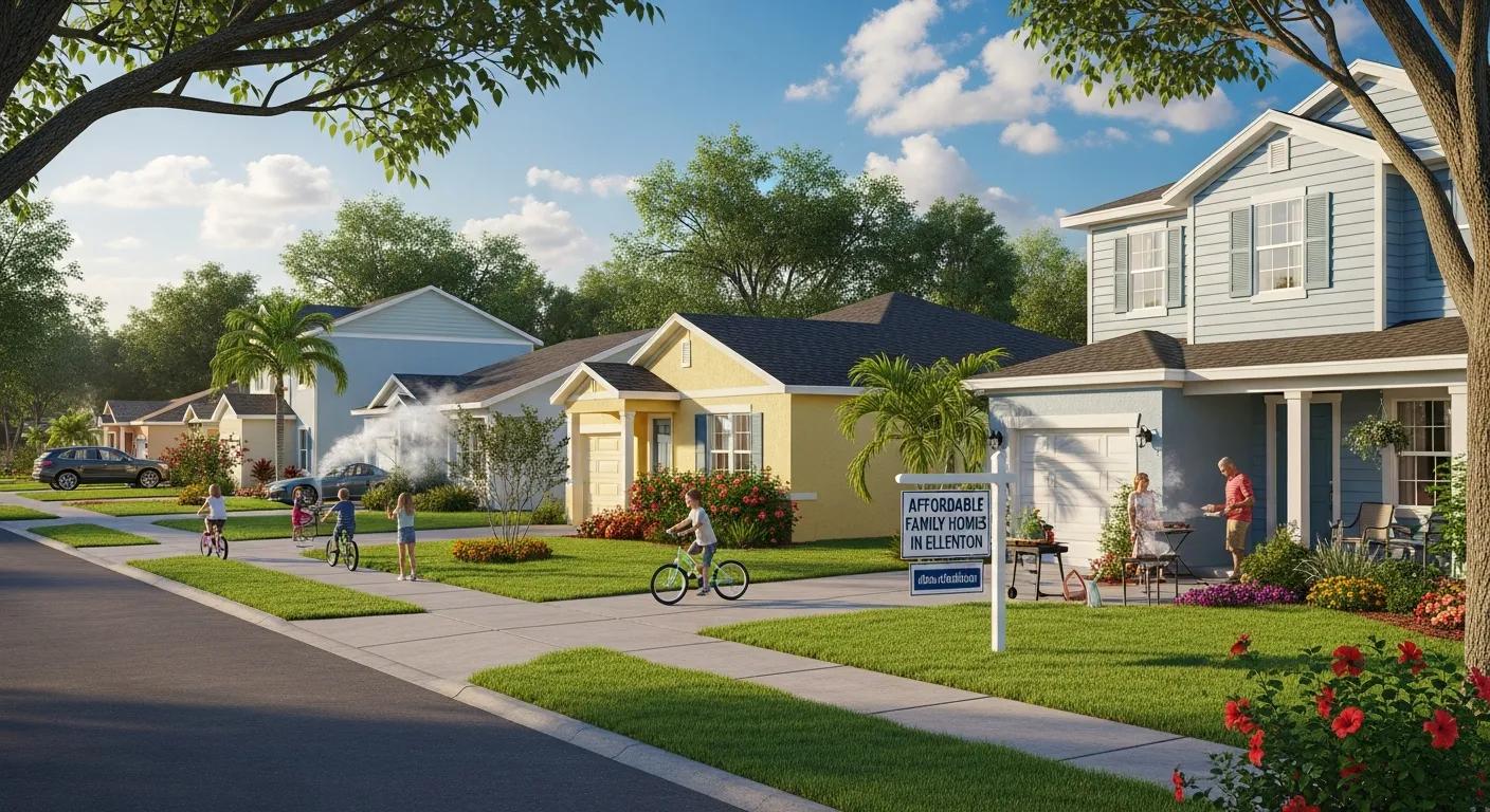
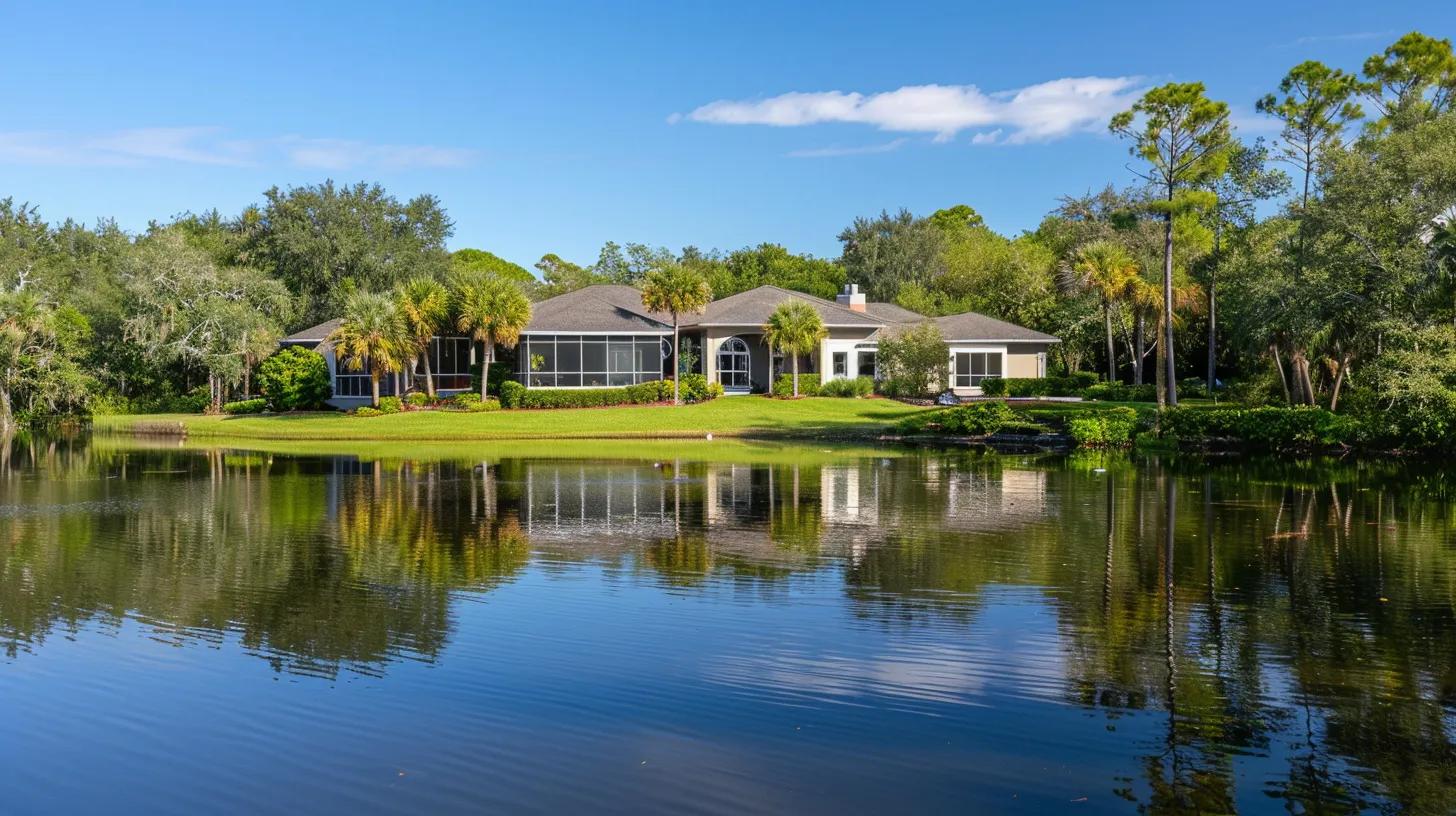
What Is the Impact of Flood Zones on Real Estate Transactions in Sarasota and Florida?
Flood zones shape several aspects of real estate transactions in Florida, from required disclosures and lender conditions to how buyers value a property and how sellers prepare listings. Sellers must disclose known flood history and map status, while buyers must factor anticipated insurance costs, potential mitigation investments, and lender contingencies into their offers. In Sarasota specifically, coastal properties often face both surge-driven flood designations and evolving map updates due to sea-level concerns, which can affect marketability and negotiation timelines. Real estate professionals and clients should incorporate zone-checking, elevation certificate verification, and insurance pre-qualification early in the transaction to avoid delays and to set realistic expectations for price and closing conditions.
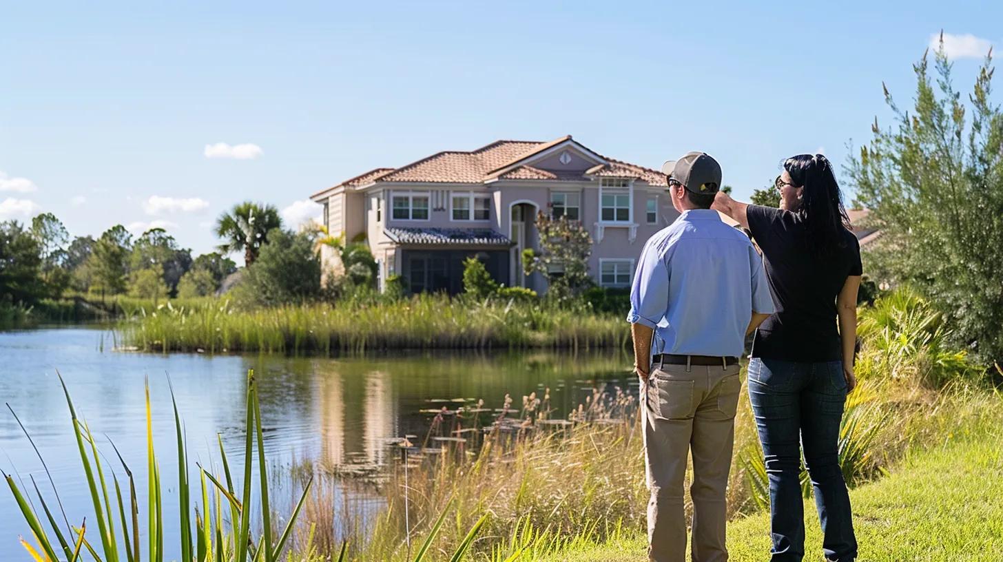
How Should Buyers Assess Flood Risk When Purchasing Florida Properties?
Buyers should perform targeted due diligence that goes beyond a printed map label by requesting elevation certificates, recent insurance quotes, and a history of flood claims for the property; this helps quantify likely ongoing costs and potential repair risks. It is prudent to obtain both NFIP and private-market premium estimates, inspect drainage and grading, and evaluate whether essential systems (HVAC, electrical) are elevated above expected flood levels. In Sarasota, consider local tide and storm-surge patterns, as well as county planning changes that could affect future zone designations. A well-documented assessment informs offer terms, potential price adjustments, and contingency periods tied to insurance and mitigation inspections.
What Strategies Help Sellers Navigate Properties Located in High-Risk Flood Zones?
Sellers can improve marketability for properties in high-risk zones by obtaining an updated elevation certificate, investing in targeted mitigation (such as elevating utilities or installing flood vents), and preparing transparent, accurate disclosures that preempt buyer concerns. Pre-listing mitigation and documentation demonstrate proactive risk management and often shorten buyer due diligence timelines, which can preserve price and reduce renegotiation pressure. Positioning a property with clear evidence of reduced flood vulnerability — for example, showing the finished floor elevation above the BFE — allows agents to highlight resilience measures rather than focusing solely on zone labels. These preparatory steps support smoother closings and help buyers visualize long-term ownership costs rather than reacting to sticker shock.
What Practical Steps Can Property Owners Take to Mitigate Flood Risk and Lower Insurance Premiums?
Property owners can reduce flood risk and often lower insurance premiums by implementing mitigation measures that alter exposure or document reduced vulnerability; standard measures include elevating structures, installing engineered grading and drainage, and relocating utilities above potential flood levels. Mitigation choices should align with local flood mechanisms — coastal surge versus inland ponding — because effectiveness and cost-benefit vary by hazard type. Combining structural changes with accurate documentation, such as elevation certificates, maximizes premium discounts available through NFIP and many private carriers. The table and checklist below summarize effective measures, typical cost/benefit considerations, and how mitigation translates into insurance savings and improved property resilience.
Which Flood Mitigation Measures Are Effective in Florida Homes?
Effective mitigation in Florida targets both surge and rainfall-driven flooding and prioritizes actions that lower expected damage and insurer exposure. Elevating living spaces and utilities above the BFE substantially reduces structural loss risk and frequently yields measurable premium reductions; engineered grading and site drainage help avoid shallow flooding and protect foundations. Flood vents reduce hydrostatic pressure on enclosed areas beneath elevated structures, while sump pumps and backflow valves protect basements and low-lying systems from ponding and sewer backups. Selecting the right mix depends on site-specific hazards and often requires consultation with licensed contractors and surveyors to ensure compliance with local codes and to qualify for insurance credits.
Here is an EAV-style table comparing mitigation measures, their typical cost, effectiveness, and expected insurance impact to help owners prioritize investments.
How Do Mitigation Efforts Influence Flood Insurance Costs and Property Value?
Mitigation efforts often produce two types of financial benefit: direct reductions in insurance premiums through underwriting credits or lower expected-loss models, and indirect increases in marketability and property value by reducing perceived ownership risk. For insurers, documented elevation certificates that show a finished floor above BFE directly lower actuarial exposure; similarly, structural measures like elevation and floodproofing can move a property into a lower-risk pricing tier with substantial annual savings. From a valuation perspective, visible mitigation reduces buyer uncertainty, can support higher offers, and accelerates sales in neighborhoods sensitive to flood risk. In practice, owners should obtain pre- and post-mitigation insurance quotes to quantify expected premium savings and use that data to prioritize investments.
How Does Morgando Realty Services Support Clients with Flood Zone and Insurance Challenges?
Morgando Realty Services offers local Sarasota expert help to buyers and sellers, helping them interpret flood maps, anticipate insurance implications, and integrate mitigation and documentation into their transaction strategy. The firm advises clients on reading FEMA Flood Insurance Rate Maps, obtaining elevation certificates, and coordinating with local surveyors, insurers, and mitigation contractors when necessary, using its local market knowledge to clarify how zone status is likely to affect financing and marketability. Morgando Realty Services also refers clients to qualified partners for technical services — such as elevation surveys and contractor estimates — and helps position properties. Hence, buyers receive accurate risk disclosures and realistic insurance expectations. By combining flood-zone literacy with practical transaction support, the firm helps clients make informed decisions that balance resilience, cost, and timing.
What Expertise Does Morgando Realty Services Offer for Flood Zone Navigation?
Morgando Realty Services applies deep local knowledge of Sarasota and statewide Florida conditions to guide clients through flood-zone-related decisions during listing, purchase negotiation, and closing preparation. The firm helps interpret FEMA FIRMs and preliminary map changes, recommends when to obtain an elevation certificate, and advises on disclosure language and mitigation options that improve sale outcomes. Morgando Realty Services' practical support includes coordinating with surveyors and insurers as needed and advising on realistic contingency language tied to insurance and mitigation outcomes. This focused assistance streamlines transactions by reducing surprises related to flood insurance requirements and clarifying likely premium and mitigation scenarios for both buyers and sellers.
How Can Clients Benefit from Personalized Flood Risk and Insurance Guidance?
Clients working with Morgando Realty Services gain outcomes such as more precise cost estimates for required insurance, evidence-based mitigation planning, and transaction strategies that account for flood-zone realities, which together can lead to faster closings and better-informed negotiations. The firm can help clients obtain or locate elevation certificates, gather insurance quotes for comparison, and identify local contractors who understand Sarasota flood dynamics and permitting needs. For property-specific guidance or to discuss how flood-zone status affects a particular listing or purchase, clients may contact Morgando Realty Services at the Sarasota address or by phone, where staff can coordinate next steps and referrals.
1990 Main Street, Suite 750, Sarasota, Florida 34236
Phone: 866-665-2531
- Start with a map check: Ask your agent to confirm the property's FIRM panel and zone.
- Obtain documentation: Locate or commission an elevation certificate before final offers.
- Get comparative quotes: Request NFIP and private insurance estimates to see coverage options.
These pragmatic steps, combined with local guidance from Morgando Realty Services, help translate flood-zone knowledge into actionable transaction plans that protect clients' interests and support better long-term outcomes.
Frequently Asked Questions
What are the common misconceptions about flood zones in Florida?
Many people believe that living in a low-risk flood zone means they are completely safe from flooding, which is not true. Flooding can occur in any area, regardless of its designated risk level. Additionally, some homeowners think flood insurance is only necessary for high-risk areas, but even properties in moderate- or low-risk areas can benefit from coverage. Understanding the nuances of flood zones and their implications is crucial for making informed decisions about property purchases and insurance.
How can I determine if my property is in a flood zone?
To determine if your property is in a flood zone, you can use the FEMA Flood Map Service Center. By entering your property address, you can access the relevant Flood Insurance Rate Map (FIRM) and see the designated flood zone. It's also advisable to check local floodplain maps and consult with local authorities or real estate professionals to gain additional insights into your property's flood risk and any recent changes to flood designations.
What should I do if my property is in a high-risk flood zone?
If your property is in a high-risk flood zone, it's essential to take proactive steps. First, consider obtaining flood insurance, as lenders often require it for properties in these zones. Next, invest in mitigation measures such as elevating your home, installing flood vents, or improving drainage systems to reduce flood risk. Additionally, stay informed about local floodplain management regulations and community resources that support risk reduction and insurance options.
How often are flood maps updated, and why is it important?
Flood maps are updated periodically, typically every five years or after significant weather events or changes in land use. These updates are crucial because they reflect the most current data on flood risk, which can affect insurance requirements and property values. Staying informed about map updates ensures that property owners understand their flood risk and can make necessary adjustments to their insurance coverage and mitigation strategies accordingly.
What role do local governments play in flood risk management?
Local governments play a vital role in flood risk management by implementing zoning laws, building codes, and land-use planning that consider flood risks. They also participate in the National Flood Insurance Program (NFIP) and may offer resources for flood mitigation and preparedness. Additionally, local authorities often conduct community outreach and education programs to inform residents about flood risks and available resources, fostering a culture of preparedness and resilience.
Can I appeal my flood zone designation, and how?
Yes, property owners can appeal their flood zone designation if they believe it is incorrect. This process typically involves submitting a Letter of Map Change (LOMC) request to FEMA, which may include providing additional data or elevation certificates to support your case. It's advisable to consult with a surveyor or floodplain manager to ensure your appeal is well documented and meets FEMA's requirements, thereby increasing the chances of a successful outcome.
What are the long-term benefits of investing in flood mitigation measures?
Investing in flood mitigation measures can yield significant long-term benefits, including reduced insurance premiums, enhanced property value, and increased safety for residents. Properties with effective mitigation strategies are often more attractive to buyers, as they present lower risk. Additionally, proactive measures can minimize damage during flood events, leading to quicker recovery times and less financial strain. Overall, these investments contribute to community resilience and sustainability in the face of a changing climate.

Gina Morgando is a licensed Broker & Realtor serving Sarasota, Manatee, and Palm Beach Counties. With over 10 years of experience, she helps buyers, sellers, and investors make confident real estate decisions across Florida.